حجم هذا العرض: 513 × 599 بكسل
الصورة بدقة كاملة (625 × 730 بكسل، حجم الملف: 1.01 ميجابايت، نوع الملف: image/png)
Summary
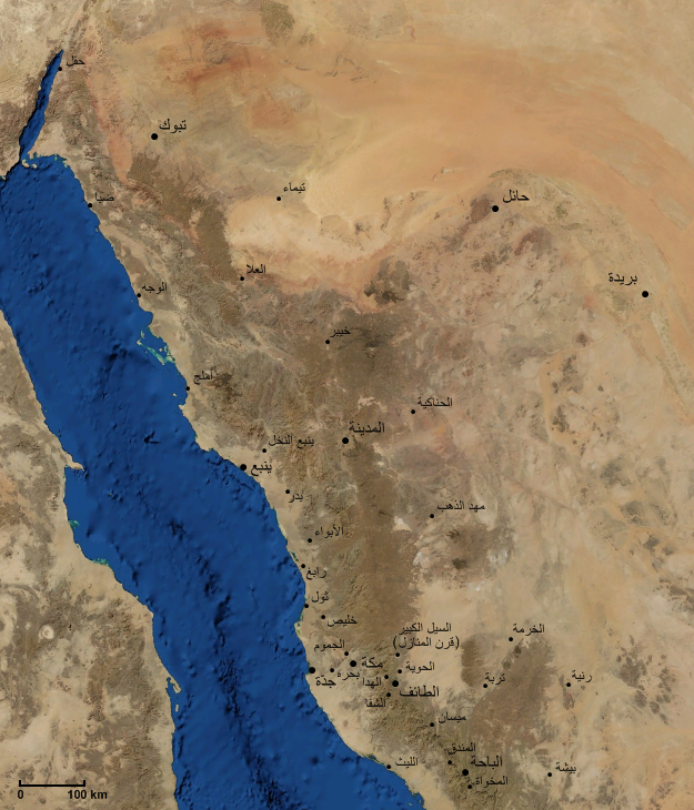
صورة فضائية للحجاز و غرب الجزيرة العربية مع مواقع أهم المدن و القرى و بعض الحواضر المجاورة.
Modified from an image obtained from NASA's WorldWind Program.
Licensing
| This image is in the public domain because it is a screenshot from NASA’s globe software World Wind using Blue Marble, Landsat or USGS layer, all of which are in public domain. |
|
وصلات
الصفحات التالية تحتوي على وصلة لهذه الصورة: