
لا توجد دقة أعلى متوفرة.
Zarit_incident_map_Arabic.PNG (519 × 298 بكسل، حجم الملف: 63 كيلوبايت، نوع الملف: image/png)
| Description |
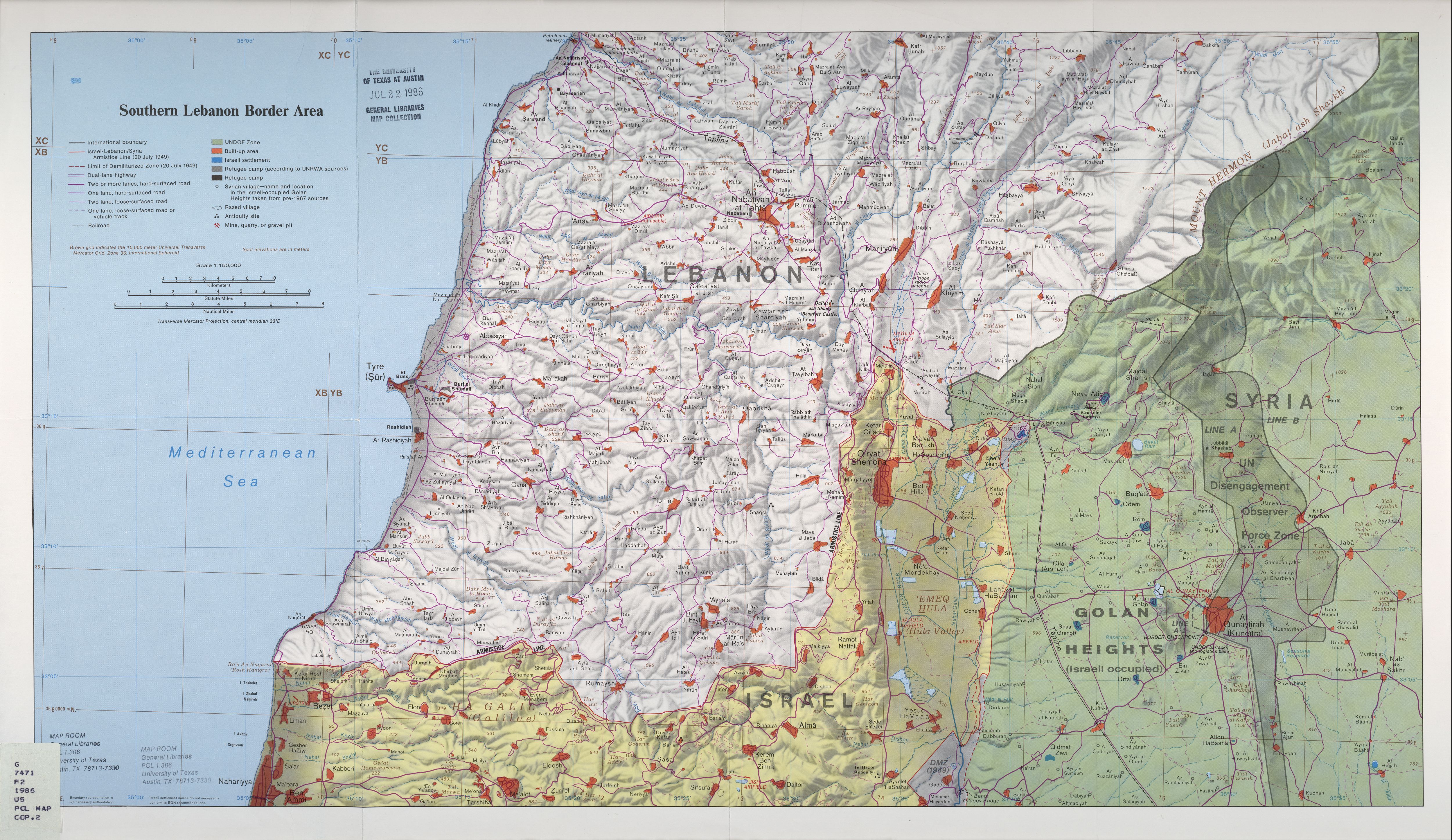
العربية: خريطة مواقع المواجهة بين منظمة حزب الله والجيش الإسرائيلي في 12 تموز/يوليو 2006.
|
|---|---|
| Source |
Translation into Arabic of |
| Date | |
| Author |
Original map is the work of the Central Intelligence Agency. Modifications by en:User:ChrisO, translation into Arabic by: user:Drork |
| Permission (Reusing this image) |
PD |

| This image is a work of a Central Intelligence Agency employee, taken or made during the course of the person's official duties. As a Work of the United States Government, all images created or made by the CIA are in the public domain, with the exception of classified information. |  |
وصلات
الصفحات التالية تحتوي على وصلة لهذه الصورة: