 حجم هذا العرض: 384 × 600 بكسلالصورة بدقة كاملة
 (512 × 800 بكسل، حجم الملف: 33 كيلوبايت، نوع الملف: image/png)
Summary
| Description |
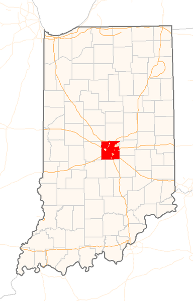
Red Dot map of Indiana, showing the location of Indianapolis
|
| Source |
Self-made with a custom-made GIS application from public data sources
|
| Date |
20:35, 19 October 2005 (UTC)
|
| Author |
Sean Baker ( Marvin01 | talk )
|
Permission
(Reusing this image) |
Free use, with attribution, under the Cc-by-2.0 license (see below). If you copy this image to modify it for another purpose, please respect the terms of this license and add a link back to the original image on the description page, or contact me to waive this restriction.
|
Licensing
وصلات
الصفحات التالية تحتوي على وصلة لهذه الصورة:

