الرئيسيةبحث

صورة:Tavolara Island map.png


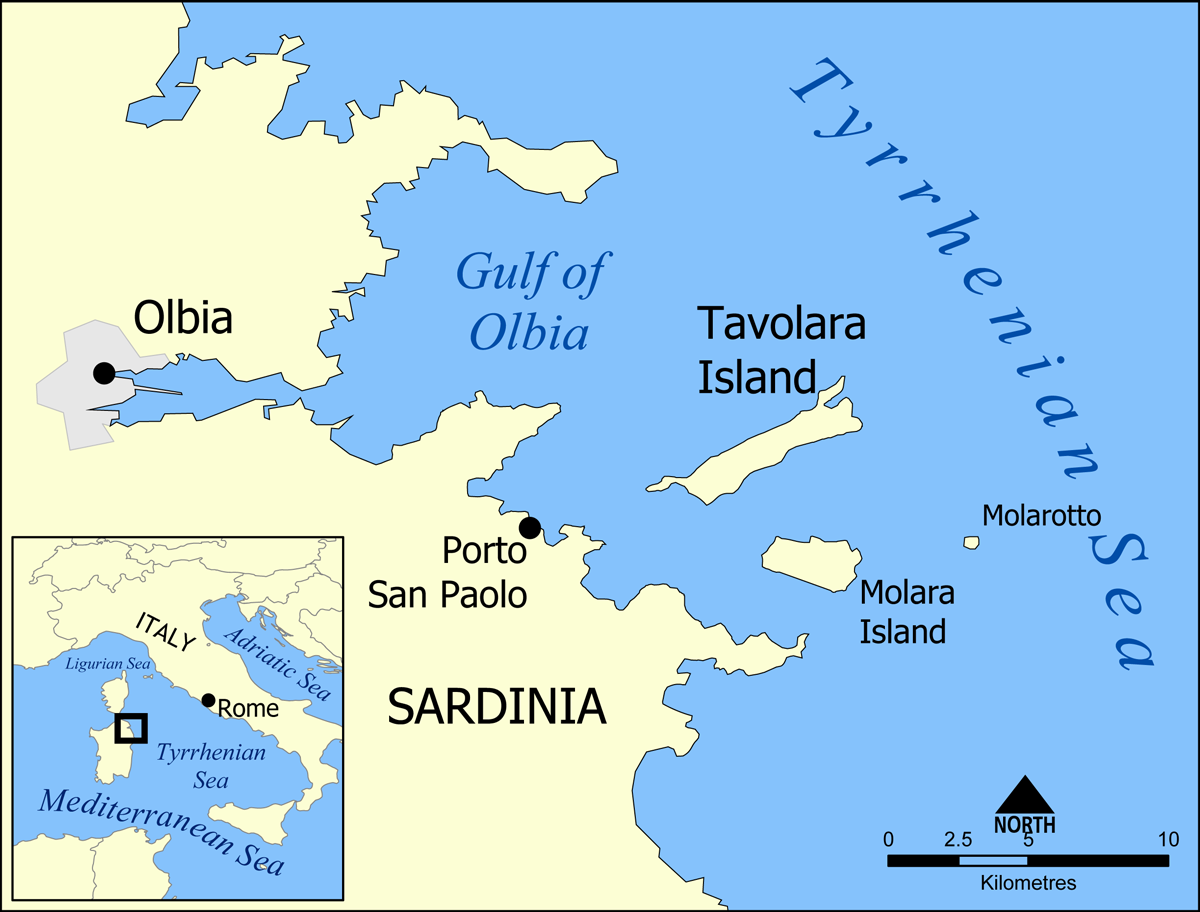
This is a map showing the location of Tavolara Island and Molara Island, off the coast of Sardinia, Italy.

Created by NormanEinstein, May 17, 2005.


I, the copyright holder of this work, has published or hereby publishes it under the following license:
GNU head Permission is granted to copy, distribute and/or modify this document under the terms of the GNU Free Documentation license, Version 1.2 or any later version published by the Free Software Foundation; with no Invariant Sections, no Front-Cover Texts, and no Back-Cover Texts. A copy of the license is included in the section entitled "GNU Free Documentation license".

 |  |  |  |  |  |  |  |  |  |  |  |  |  |  |  |  |  |  |  |  |  |  |  |  |  |  |  | Ido |  |  |  |  |  |  |  |  |  |  |  |  |  |  |  |  |  |  |  |  |  |  |  |  |  |  |  |  |  |  |  |  |  |  |  | +/-

الصفحات التالية تحتوي على وصلة لهذه الصورة: