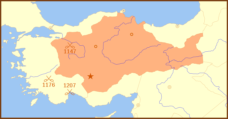
Seljuk_Sultanate_of_Rum_1190_Locator_Map.svg (ملف إس في جي، أبعاده 1440 × 750 بكسل، حجم الملف: 171 كيلوبايت)
Summary
| Description |
A locator map of the w:en:Seljuk Sultanate of Rum, with borders as of 1190. This map also shows locations for the following battles:
|
|---|---|
| Source |
self-made |
| Date |
14 Feb 2008 |
| Author | |
| Permission (Reusing this image) |
see below |
References
- Shepherd, William (1911) "Map of Europe and the Meditteraean Lands about 1190"
Licensing
|
وصلات
الصفحات التالية تحتوي على وصلة لهذه الصورة:

