حجم هذا العرض: 483 × 600 بكسل
الصورة بدقة كاملة (5,800 × 7,200 بكسل، حجم الملف: 3.69 ميجابايت، نوع الملف: image/jpeg)
| Description |
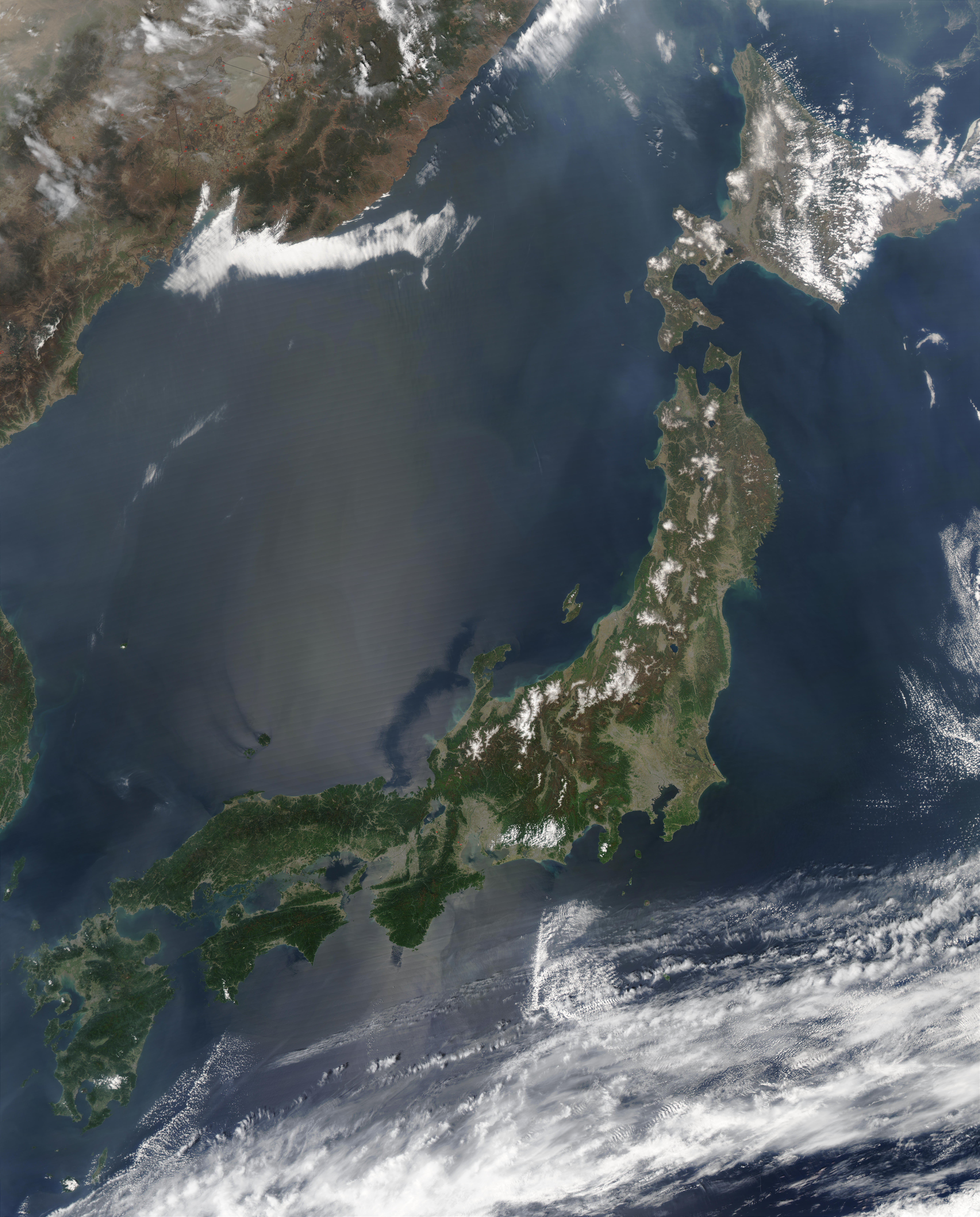
Satellite image of Japan in May 2003.
|
|---|---|
| Source |
Cropped from http://visibleearth.nasa.gov/view_rec.php?id=5319 |
| Date |
May 1, 2003 |
| Author |
Jeff Schmaltz, MODIS Rapid Response Team, NASA/GSFC |
| Permission (Reusing this image) |
see below |
Licensing
|
|
This file is in the public domain because it was created by NASA. NASA copyright policy states that "NASA material is not protected by copyright unless noted". (NASA copyright policy page or JPL Image Use Policy).
| | | | | | | | | +/- |
|
 |
Warnings:
|
وصلات
الصفحات التالية تحتوي على وصلة لهذه الصورة: