 لا توجد دقة أعلى متوفرة.Miss_R_dam_27.jpg
 (771 × 394 بكسل، حجم الملف: 35 كيلوبايت، نوع الملف: image/jpeg)
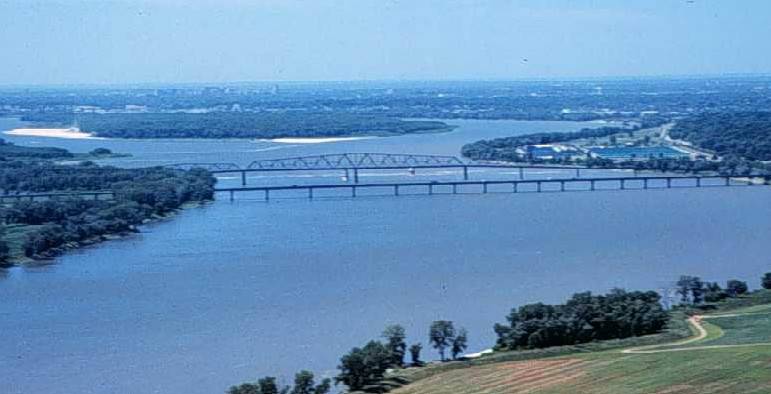
The Mississippi River, looking south toward the city of St. Louis from near the confluence with the Missouri River; showing the Interstate 270 Bridge, the old Chain of Rocks Bridge (which once carried Route 66), city water intake towers, a low water dam (dam 27) and the St. Louis waterworks.
The Chain of Rocks Canal bypasses this section of the river. There are no dams on the river between dam 26 and the Gulf of Mexico.
This photograph was obtained from U.S. Geological Survey's Upper Midwest Environmental Sciences Center website.
وصلات
الصفحات التالية تحتوي على وصلة لهذه الصورة:

