حجم هذا العرض: 800 × 520 بكسل
الصورة بدقة كاملة (1,084 × 705 بكسل، حجم الملف: 34 كيلوبايت، نوع الملف: image/png)
| Description |
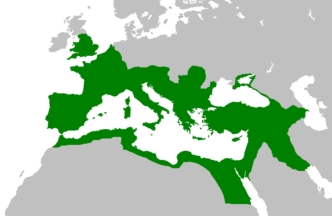
Map of the Roman Empire at its height, under Trajan. Suomi: Rooman valtakunta Trajanuksen aikana.
日本語: 117年(トラヤヌス帝の時代)のローマ帝国の最大領土
Português: Localização do Império Romano em sua extensão máxima.
|
||
|---|---|---|---|
| Source | |||
| Date |
5 February 2007 |
||
| Author | |||
| Permission (Reusing this image) |
|

وصلات
الصفحات التالية تحتوي على وصلة لهذه الصورة: