لا توجد دقة أعلى متوفرة.
IndonesiaBali.png (800 × 375 بكسل، حجم الملف: 97 كيلوبايت، نوع الملف: image/png)

Summary
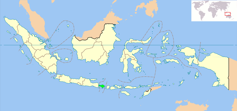
Locator map of Indonesian province of Bali showing provincial boundaries. Based on Image:Indonesia_provinces_blank_map.svg. Created for use in en:Wikiproject Indonesia Cartography.
NB: Please note, this map will probably need further editing in order to make the position of Bali clearer. For now, we are simply standardising all Indonesia Provincial locator maps, and will make additional changes once all standard maps have been uploaded.
Licensing
 |
Permission is granted to copy, distribute and/or modify this document under the terms of the GNU Free Documentation License, Version 1.2 or any later version published by the Free Software Foundation; with no Invariant Sections, no Front-Cover Texts, and no Back-Cover Texts. Subject to disclaimers. |
وصلات
الصفحات التالية تحتوي على وصلة لهذه الصورة: