حجم هذا العرض: 788 × 599 بكسل
الصورة بدقة كاملة (1,116 × 849 بكسل، حجم الملف: 159 كيلوبايت، نوع الملف: image/jpeg)
Summary
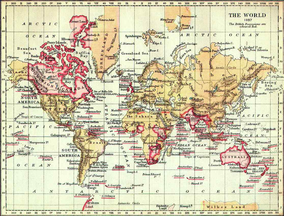
The World in 1897. "The British Possessions* are coloured Red**"
[*]Colonies, [**]It is usually Pink.
This map shows parts of Greenland as part of the British Empire. This region was never occupied by the British and the claim was contested by Denmark, which continued to claim sovereignty over all of Greenland.
Licensing
| This image (or other media file) is in the public domain because its copyright has expired. This applies to the United States, Canada, the European Union and those countries with a copyright term of life of the author plus 70 years.
| | | | | | | | | | | | | | | | | | | | | | | | | | | | | | | | | | | | | | | | | +/- |
وصلات
الصفحات التالية تحتوي على وصلة لهذه الصورة: