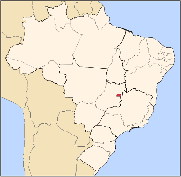
Brazil_State_DistritoFederal.svg (ملف إس في جي، أبعاده 702 × 687 بكسل، حجم الملف: 676 كيلوبايت)
 |
Padronização dos mapas derivados
Sinta-se livre para criar derivações deste trabalho, mas caso queira ilustrar algum artigo da wikipédia com um mapa do tipo "município/região metropolitana em destaque" por favor siga rigorosamente o padrão visual, de nomenclatura e de classificação aqui utilizados pois todos os mapas das subdivisões brasileiras estão em processo de adaptação ou estão sendo criados desta forma. Não queremos inibir a criatividade mas o padrão aqui adotado foi apresentado e aceito pela comunidade lusófona e deve ser seguido sempre que for possível. Caso tenha problemas para seguir este padrão ou para derivar este trabalho entre em contato com comigo através do meu blog em lorenzeto.com. |
| Description |
Map locator of Brazil's Distrito Federal (Federal District) |
|||||
|---|---|---|---|---|---|---|
| Source |
own work |
|||||
| Date |
April, 21 2006 |
|||||
| Author |
Raphael Lorenzeto de Abreu |
|||||
| Permission (Reusing this image) |
|
وصلات
الصفحات التالية تحتوي على وصلة لهذه الصورة:

