لا توجد دقة أعلى متوفرة.
BlankMap-Europe.png (450 × 422 بكسل، حجم الملف: 15 كيلوبايت، نوع الملف: image/png)
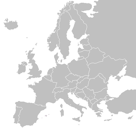
A blank map of Europe as of 2004 (updated 2006 and 2008), made by the uploader for Wikipedia.
| I, the copyright holder of this work, hereby release it into the public domain. This applies worldwide. In case this is not legally possible: | | | | | | | | | | | | | | | | | | | | | | | | | | | | | | | | | | | | | | | | | | | | | | | | | | | | | | | | | | | +/- |
This file cannot be considered to have been superceded by Image:BlankMap-Europe.svg, because the latter is far less accurate. For example, the Baltic states have no border between them (or Russia); and those borders that do exist are drawn very loosely. The .png version has so much more detail, the two can't be compared. QuartierLatin1968 20:30, 3 September 2006 (UTC)
- The Baltic border problems has been fixed a couple of months ago, so I'm strucking that down, however it's still true that the edges there are drawn more smoothly than here. -- Drini 00:50, 14 April 2007 (UTC)
The list of independent states pictured on the map (source): Albania, Andorra, Austria, Belarus, Belgium, Bosnia and Herzegovina, Bulgaria, Croatia, Czech Republic, Cyprus, Denmark, Estonia, Finland, France, Germany, Greece, Hungary, Iceland, Ireland, Italy, Latvia, Liechtenstein, Lithuania, Luxembourg, Kosovo, Macedonia, Moldova, Monaco, Montenegro, Netherlands, Norway, Poland, Portugal, Romania, Russia, San Marino, Serbia, Slovakia, Slovenia, Spain, Sweden, Switzerland, Turkey, Ukraine, United Kingdom, Vatican City
وصلات
الصفحات التالية تحتوي على وصلة لهذه الصورة:
